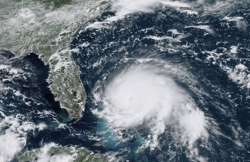
The National Reconnaissance Office is considering adding new commercial capabilities to its growing portfolio that can take satellite images despite inclement weather and geolocate a broad range of radio frequency signals from space.
On Dec. 11, the agency announced that it was awarding two data integration study contracts: One to Capella Space for commercial synthetic aperture radar (SAR), and one to Hawkeye 360 for commercial radio frequency (RF) remote sensing.
“The NRO is interested in better understanding the current capabilities of a variety of commercial vendors and assessing how those capabilities could potentially support the NRO’s national security mission,†said Pete Muend, director of the NRO Commercial Systems Program Office. The NRO oversees the development, acquisition and operation of the nation’s intelligence satellites.
RELATED

SAR uses radar to produce images, meaning it’s unaffected by cloud cover, darkness or inclement weather.
“Capella’s SAR service provides high revisit rates and images in all weather and lighting conditions. SAR also captures amplitude and phase history enabling the extraction of valuable information such as material properties, digital elevation mapping, and precise changes and movements, not available with optical imagery,†said Dan Brophy, vice president of government services at Capella Space, in a statement.
According to the intelligence agency, this makes SAR perfect for intelligence analysis, battlefield reconnaissance, land and ocean monitoring, and natural resource and agricultural monitoring and assessment.
RF remote sensing, on the other hand, provides “analytics to identify and geolocate a broad set of RF signals, including broadcast messages such as shipborne Automatic Identification Systems,†according to the NRO.
"With these two contracts, we are exploring the integration of commercial SAR and RF in ordering and imagery delivery into the NRO architecture,†Muend said. "These latest study contracts reflect the NRO’s commitment to full seamless enterprise integration of multiple sources and diverse phenomenologies.â€
The two awards join a growing suite of study contracts the NRO has issued this year as they work to take over responsibility for acquiring commercial imagery from the National Geospatial-Intelligence Agency—a decision made by the intelligence community in 2017. NRO leaders have said they intend to use the study contracts to look at commercial capabilities and determine whether they meet government requirements.
In June, the agency announced that it was issuing it’s first three study contracts for traditional electro-optical imagery to BlackSky Global, Maxar Technologies and Planet. In September they followed that up with a study contract for hyperspectral imagery to HySpecIQ, which uses the unique spectrum of each pixel in an image to identify an object.
Nathan Strout covers space, unmanned and intelligence systems for C4ISRNET.


