WASHINGTON — The U.S. Space Force is still in its early days, but leaders are already considering adding a new mission for Guardians: providing tactical satellite imagery for beyond-line-of-sight targeting.
“That’s something that we’re thinking through as we speak. I’ve got a group of folks doing some work on what that design might look like,” Gen. John “Jay” Raymond, the chief of space operations, said Feb. 3 during a Defense Writers Group call.
The Space Force, like Air Force Space Command before it, provides the GPS signal, missile warning information, and wideband communications with its on orbit satellites. Tactical satellite imagery, however, has not been part of its workload.
“That’s largely been more on the intelligence community side,” Raymond said.
Specifically, satellite imagery is generally the responsibility of two intelligence agencies: the National Reconnaissance Office and the National Geospatial-Intelligence Agency. While the NRO builds and operates the nation’s spy satellites and contracts with commercial providers to access their imagery, NGA sets imagery requirements and transforms that raw satellite data into intelligence products. The military typically relies on NGA for geospatial intelligence (GEOINT) products.
“I do think as technology has allowed for smaller satellites to be more operationally relevant and you can do so at a price point that is cheaper, that there is a role for operational level tactical satellites as you described and that the Space Force would have a role in that,” Raymond said.
“Again, it’s early in the study efforts, if you will, and whatever we do we’ll make sure that we do it in close partnership with our intelligence partners, because what we don’t want to do is duplicate efforts,” he continued. “We want to save dollars and reduce taxpayer dollars, not duplicate.”
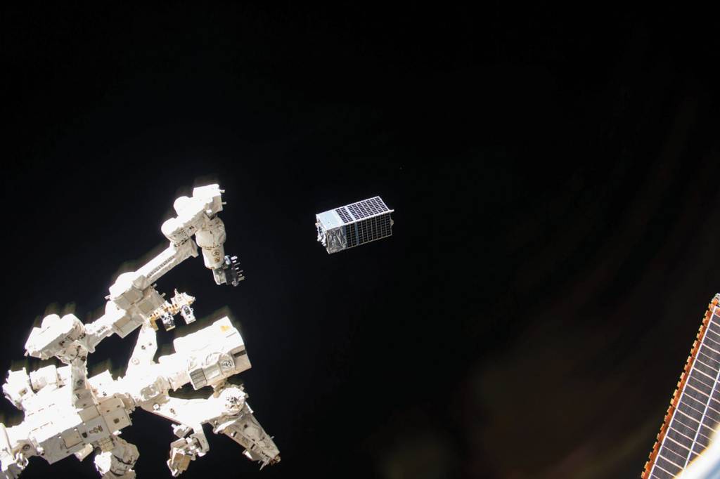
The proliferation of small and relatively affordable small imaging satellites and the growing commercial satellite imagery market has sparked interest at the Pentagon in using satellites for beyond-line-of-sight (BLOS) targeting. The U.S. Army has been at the forefront of that effort, launching its own small imaging satellite — Kestrel Eye — in 2017. More recently at the Project Convergence 2020 exercise, the Army used commercial satellite imagery to develop targeting data and shoot at BLOS threats.
The Air Force and the Navy are also investing in tactical GEOINT products. The Air Force Research Laboratory is investing in commercial tactical GEOINT software to help them find moving targets with satellite imagery, while the Navy is paying for commercial synthetic aperture radar imagery and analytics.
Elsewhere in the Department of Defense, the Space Development Agency has set BLOS targeting as one of the main capabilities it is pursuing for its new proliferated constellation in low Earth orbit, which will eventually be made up of hundreds of satellites.
“That’s where the Army is most affected and that’s where we’re working very closely with the Army to make sure that we’re tied together. So this is the ability to detect and track and maintain custody of anything, say, larger than a truck and to be able to actually give a targeting fire control solution to a weapon in the field in real time anywhere on the globe,” SDA Director Derek Tournear said in 2019. “That’s the goal. That’s the capability.”
The SDA is slated to become part of the Space Force in late 2022.
Nathan Strout covers space, unmanned and intelligence systems for C4ISRNET.


